S-Booster 2019 Highlights is now available!
We released highlight movie of S-Booster 2019.
* Please click
HERE for the
details of S-Booster 2019 Final Round.
We released highlight movie of S-Booster 2019.
* Please click
HERE for the
details of S-Booster 2019 Final Round.
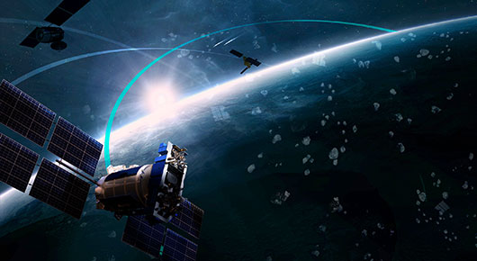
S-Booster is looking for new business ideas to utilize space assets from those who aim for launching a new project in the company or starting his or her own business. Through mentoring by space business experts, the selected entrants will receive support such as how to commercialize an idea and to capitalize it. S-Booster finalists will be presenting their own business ideas directly to investors and business companies who are keen to support great space projects, where we believe organic matching happen to realize subsequent commercialization of the great ideas.
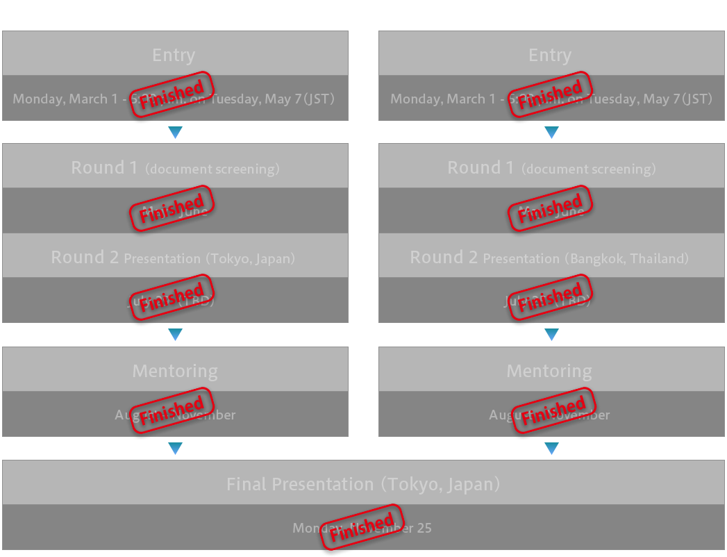
In its third year, S-Booster 2019 will expand the recruitment area to
Asia - Oceania region and invite space and business ideas broadly.
Qualifying session will be held separately for those from Japan and
from other Asian region, and those who are selected from each session
will go into the Final Presentation held in Tokyo on November 25,
2019.
- Entries are accepted for new business ideas using space-related
assets in Japan or the Asia-Oceania regions.
- These ideas can be already verified, or can be technologies to
be created in the future, etc.
<Japan>
1) Business idea based on the
themes proposed by sponsors
2) Business idea using
Japanese space assets
such as the QZSS (Quasi-Zenith Satellite System)
3) Other Space-based business idea (general)
<Asia-Oceania regions>
1) Business idea based on the
themes proposed by sponsors
2) Business idea using
Japanese space assets
such as the QZSS (Quasi-Zenith Satellite System)
3) Space-based business idea, seeking collaboration with Japanese
companies
Please refer to the guidelines below for entry details
S-Booster 2019 Entry Guidelines (PDF)
Download Word file of "Appendix: Entry Information Review Form"
Entry has closed.
Thank you for many applications.

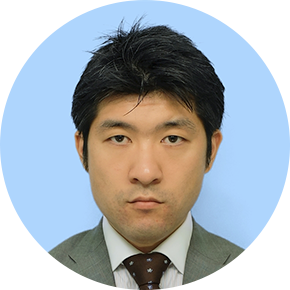
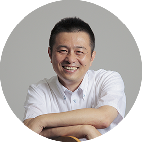
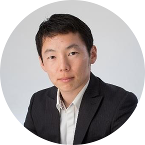
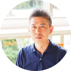
![]() : Available for Japanese mentoring
: Available for Japanese mentoring
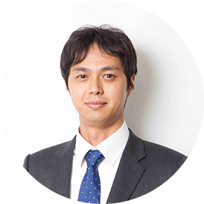
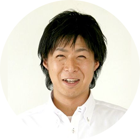
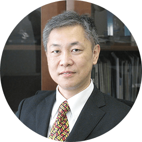
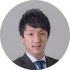
![]() : Available for English mentoring
: Available for English mentoring


S-Booster 2019 is operated by the S-Booster 2019 Executive Committee, comprised of the Host, Co-host and sponsors.
 jsforum.or.jp
S-Booster 2019 Executive Committee Secretariat
(c/o Japan Space Forum)
s-booster2019 jsforum.or.jp