In cities with many skyscrapers, lost satellite signals can cause unacceptable errors in self-position determination. This is a fatal risk not only for self-driving cars but also for drones. AISing's Edge AI will be installed in the GNSS receiver to add a self-position estimation function in the event of lost satellite signals.
Coming Soon!
This project will provide information to plantation companies by clarifying the relationship between the stage of disease/soil moisture content, which is directly related to disease and mortality, and the reflected spectrum measured for oil palm and banana, and by mapping those using both existing and proprietary satellites with wavelength selectivity.
This idea is a total healthcare business for those involved in commercial space travel and space exploration. Currently, professional astronauts are preparing before departure, managing their health during their stay in space, and conducting medical examinations after their return. This business idea aims to provide customized health care services for private astronauts when they head to space.
We develop ultra small liquid chromatography, whose size is 10 times smaller and consumables is 1000 times smaller than conventional ones, to be used in international space station and sustainable life in space colony.
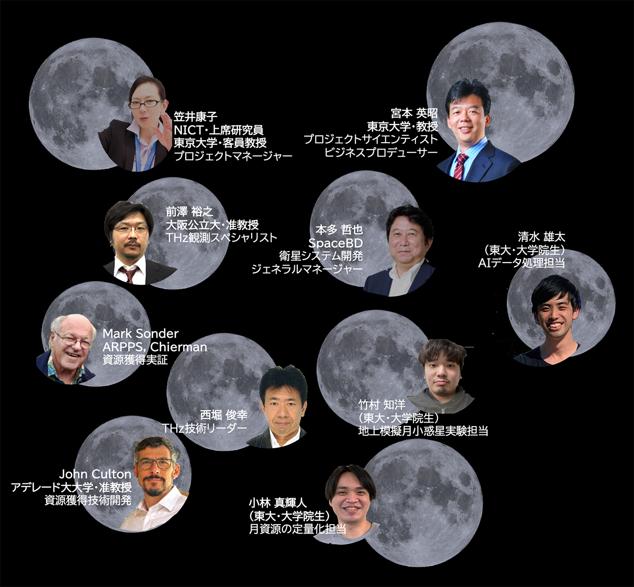
"Treasure resources" such as water and metallic minerals are expected to exist on the moon and asteroids, but the exact locations are unknown. Created the "Space Treasure Map" for the first time in the world for the treasure hunting. A new electromagnetic wave, terahertz, is used for remote sensing of these treasures.
Defire is a platform incentivizing farmers to stop burning croplands and crop residue using carbon credits. Farmers can register to stop burning their fields in exchange for Carbon Points equivalent to the amount of Carbon reduced from burning (1 Carbon Point = 1 ton of CO2), and farmers can exchange the points received (Redeem) for cash or agricultural products such as fertilizers or seeds. The carbon points can also be used to provide loan guarantees. Our platform combines AI, IoT, and remote sensing technologies to detect and alert the presence of fires to increase accuracy and transparency in issuing carbon credits. The private sector can purchase Carbon Credits to offset the extra GHG emissions to meet the regulatory or voluntary requirements toward carbon neutrality.

LEET CARBON provides data-driven solutions and nature-based carbon capture for a low-carbon society through emission reductions and removals and public engagement at any scale and speed with 4 key services: 1. Data as a Service (DaaS), 2. Monitoring as service (MaaS), 3. Carbon marketplace (CMP) and 4. Nature Networking (NaN).
LEET CARBON new service has the following specification and advantages: effective nature-based solutions planning when spatiotemporal data are used from DaaS and MaaS, meeting the Net-Zero emissions commitment when emission reductions are purchased in CMP, earning carbon credits from nature-based carbon reductions, and mitigating climate change when trees and forests are planted and protected using NaN.
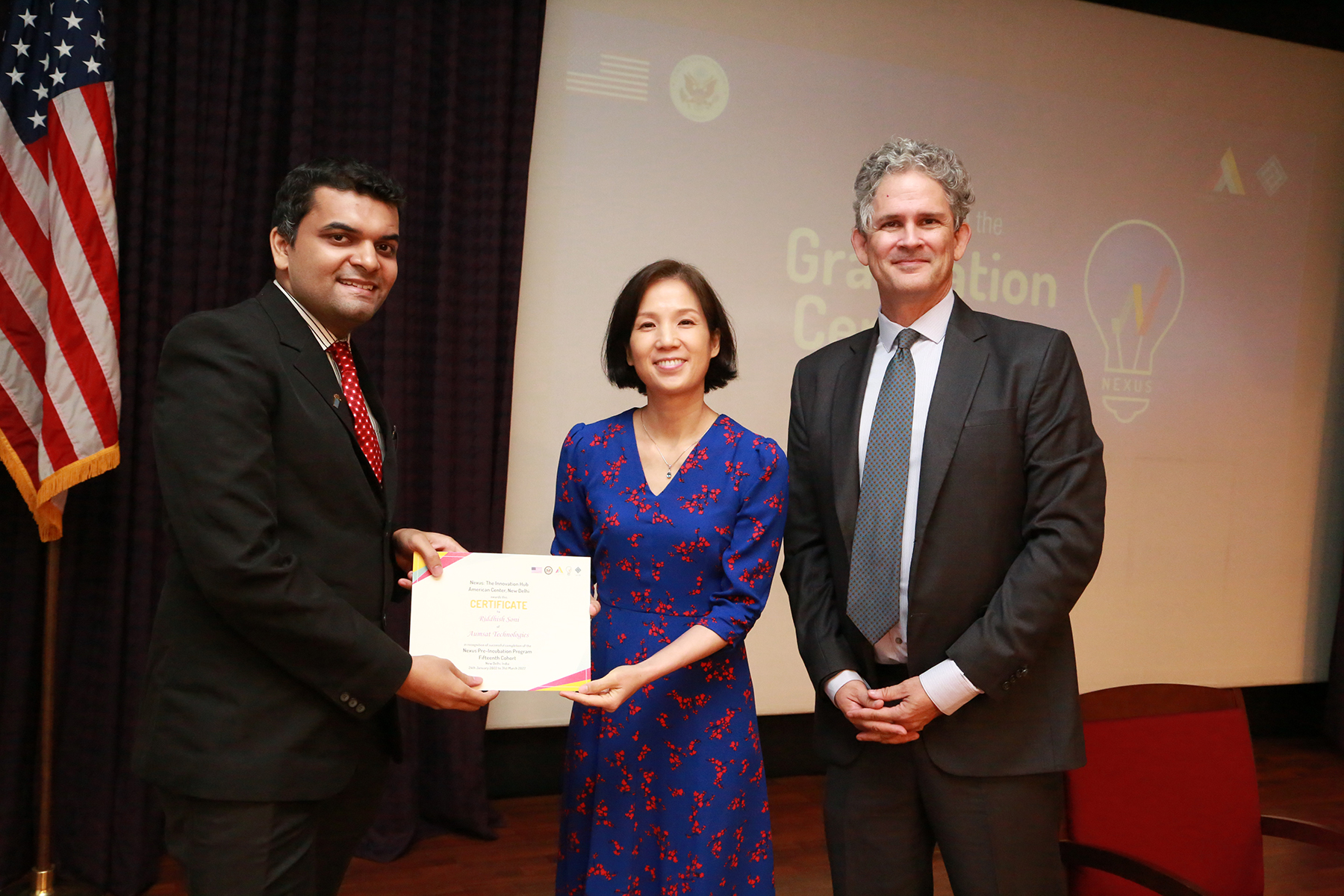
Aumsat provides precision-driven, satellite-based, AI-enabled hydrological analysis for locating, predicting, and forecasting groundwater resources. Unlike conventional costly and time-consuming methods used in groundwater exploration, our services can help detect groundwater zones at a high rate of precision without physically being present on the field thereby saving cost economically and logistically by 75%.
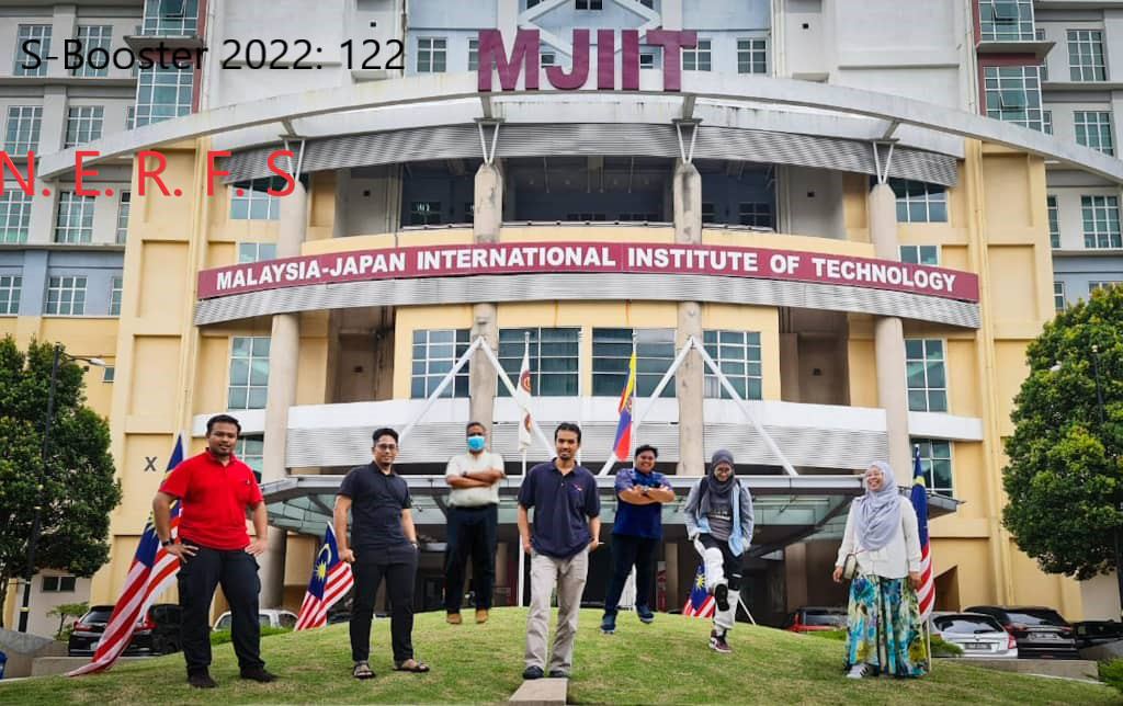
Southeast Asia is more exposed to the effects of climate change than most, due to global warming, urban developments and infrastructure located in flood-prone locations. Without rapid investment in climate resilience technology, flooding will continue to be an expensive challenge for businesses, governments, and communities across the region. Recent flood events in Malaysia demonstrated the devastating impact of flooding towards communities and transportation system. This led the country’s insurers and policymakers to deal with the economic fallout of flooding on road users, which has been estimated to have caused RM90,000 equivalent to 20,154 USD in losses. Our business notion focusses on flash flood mitigation strategy in network transportation system. Our team takes this opportunity to provide an approach that helps prevent road user’s vehicles from being damaged or stranded. We innovate an Internet of Things (IoT) device that will communicate with satellite system to provide early disaster warning and help find an alternative route for a safer driving experience. Our business strategy focus on stakeholders such as, local authority, research centres, rescue team and private roadway developers. The revenue from this business for five years is expected to be coming primarily from businesses and government organisation that are facing these issues directly or are in charge of disaster management and planning.
Ocean Eyes is a solution that came up to overcome overfishing problem. It will sense the fish and generate a map that contains the information of fish population prediction and extra information regarding ocean resource condition. Ocean eyes consists of swarm buoy that is equipped with sensors which are placed on the ocean. It will communicate will the command center on land through satellite communication. This command center will collect data from the sensors and generate the ocean resource map that can be accessed by fishermen through smartphone or computer. By having knowledge which location that contains sufficient number of fish to be caught and marking the vulnerable location for fishing, overfishing can be avoided.